Code: 10994
Dimensions:
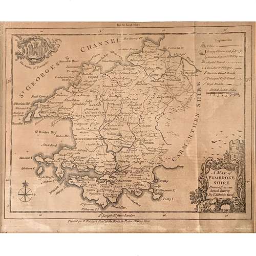
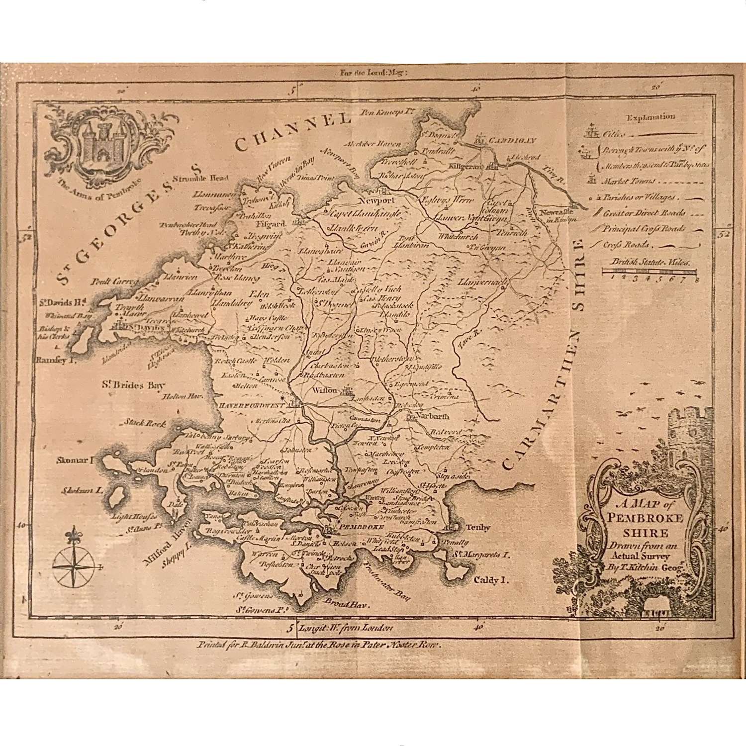
"A Map of Pembrokeshire: Drawn from an Actual Survey"
Thomas Kitchin (1719-1784)
Published by Richard Baldwin Jr. (1724-1770)
Paternoster Row, London
Printed on laid paper
Circa 1750
Measures:-
18.2 cm x 22 cm (Paper size)
29 cm x 31.1 cm (Framed)
An antique map of Pembrokeshire by the celebrated English engraver and cartographer Thomas Kitchin. The customary three vertical folds as originally bound when issued .